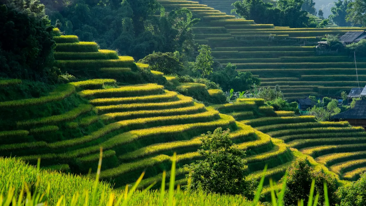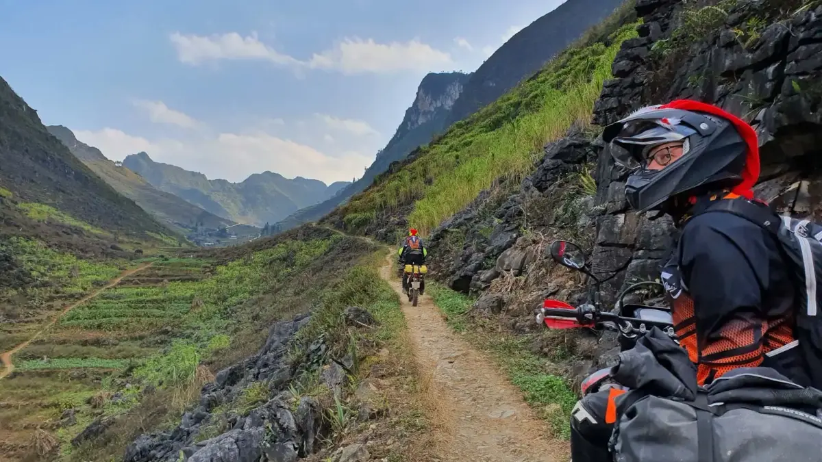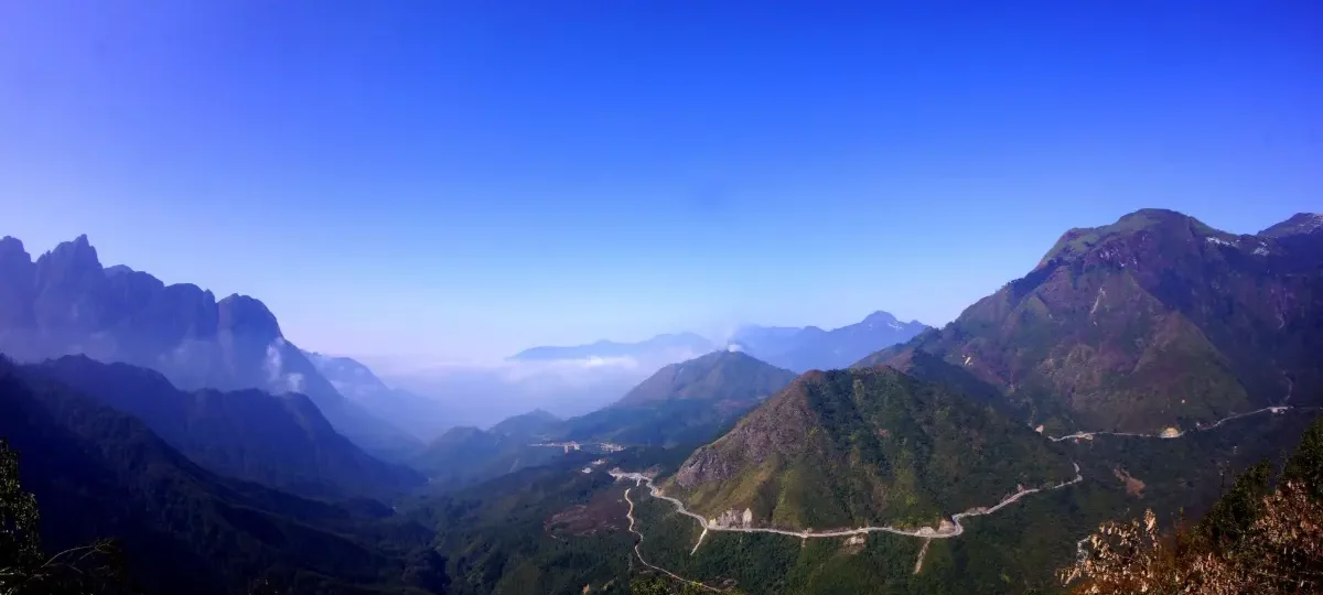
O Quy Ho Pass: Driving Vietnam’s Great Mountain Pass near Sapa
O Quy Ho Pass (Đèo Ô Quy Hồ) is a roughly 50 km mountain road on National Highway 4D that climbs from Sapa in Lao Cai province over the Hoang Lien Son range to Tam Duong in Lai Chau province, topping out at about 2,000 m. Counted among Vietnam’s “four great passes”, it is free to drive and best seen on a half-day trip from Sapa.
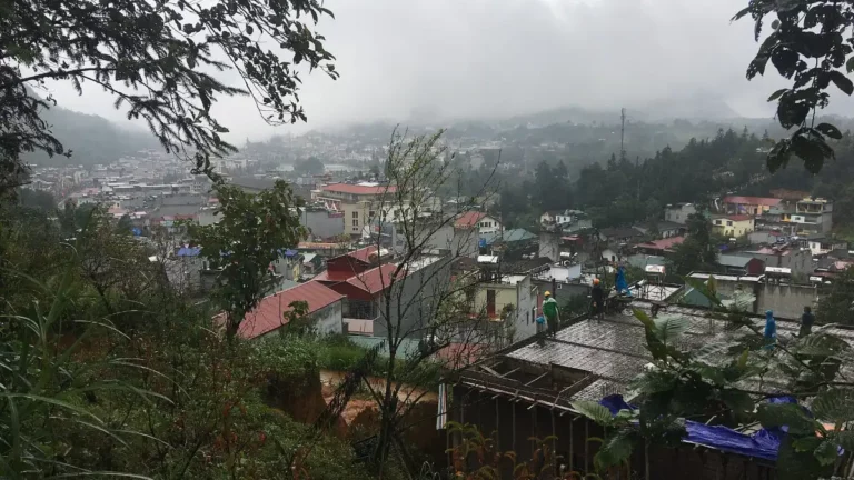
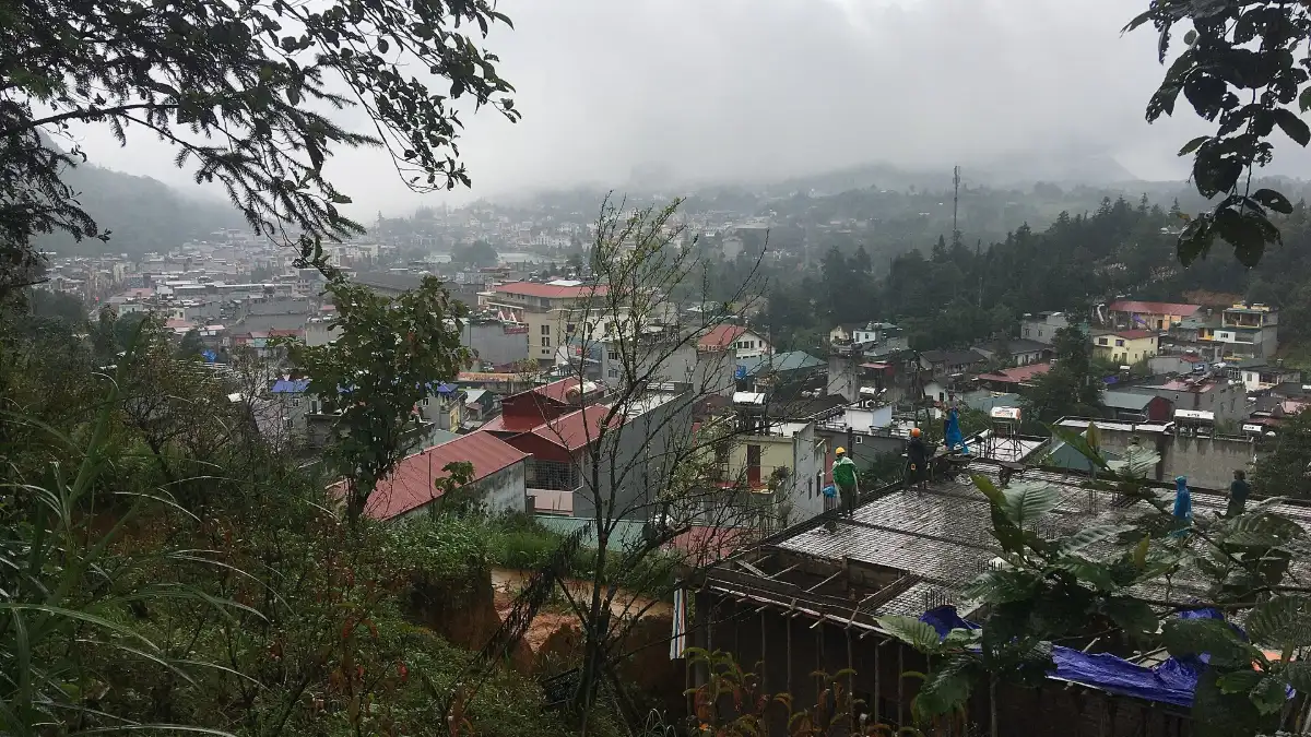
Status (checked October 2026): the road is open as normal and there is no toll. Since the July 2025 reorganisation, the Sapa side lies in Sa Pa ward of the enlarged Lao Cai province (merged with Yen Bai), while about two-thirds of the pass lies in Lai Chau province. Fog is common, and in cold spells (usually December–February) frost or ice can form near the top, so check conditions before driving.
Why O Quy Ho Pass is worth seeing:
- One of Vietnam’s great passes: often ranked with Ma Pi Leng, Pha Din and Khau Pha as the “four great passes” of the north.
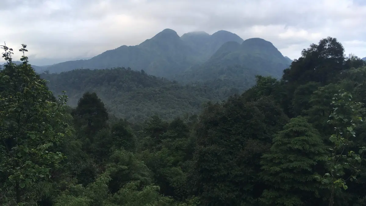
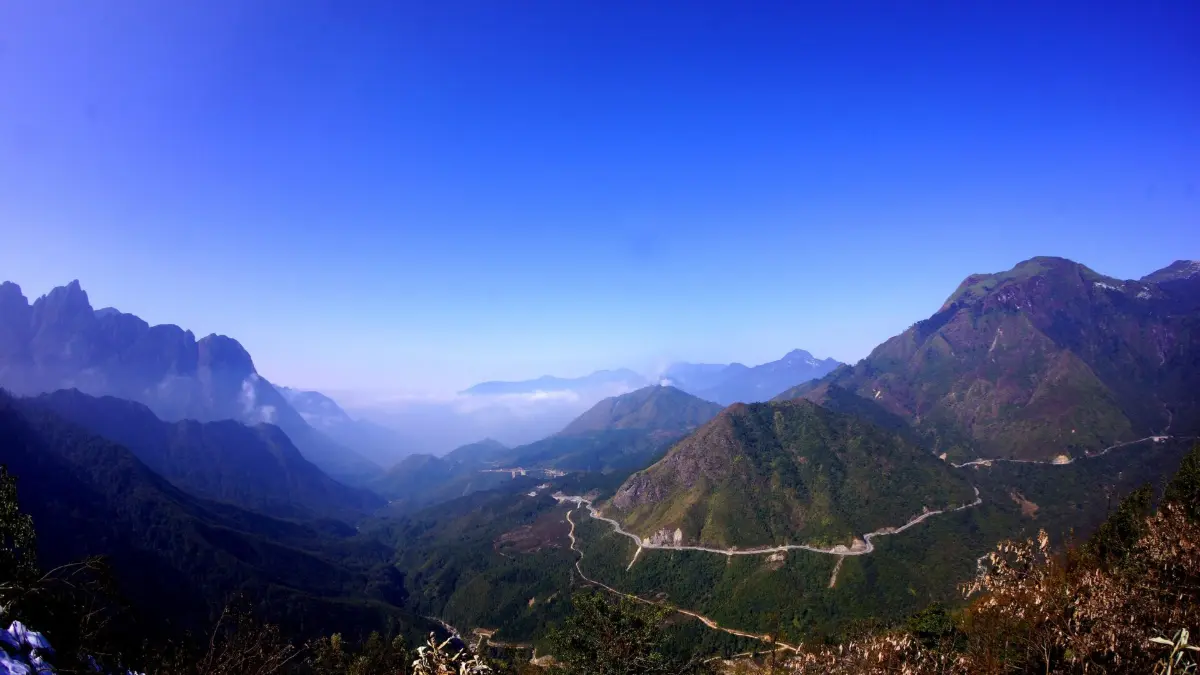
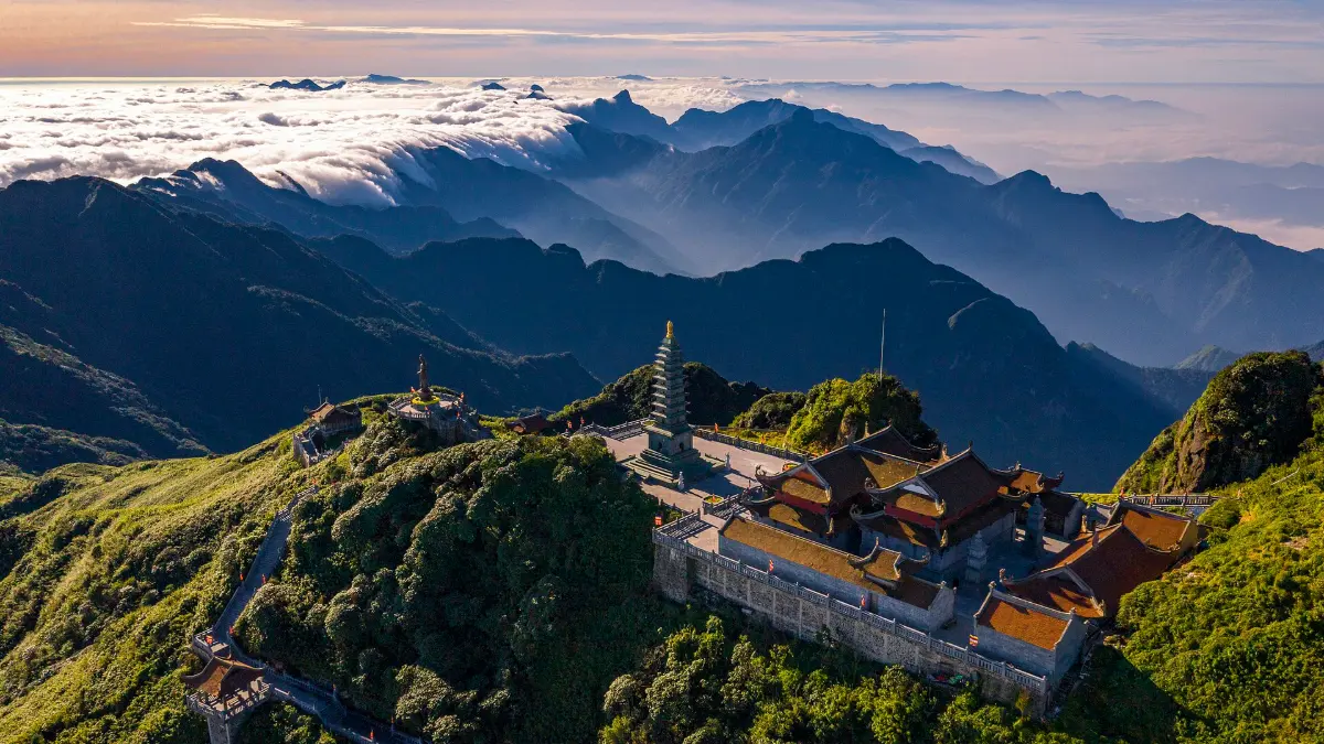
- Sea of clouds: the summit at about 2,000 m regularly sits above the clouds that fill the valleys.
- Fansipan views: on clear days the road faces the Hoang Lien Son range and Vietnam’s highest peak.
- Easy stops on one road: Silver Waterfall, Love Waterfall, the Heaven’s Gate viewpoint and Rong May Glass Bridge all sit beside the pass.
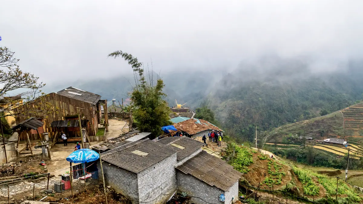
- Two climates in one drive: the Sapa side is often cold and misty while the Lai Chau side can be sunny and warm.
O Quy Ho Pass at a Glance
| Vietnamese name | Đèo Ô Quy Hồ (also called Hoàng Liên pass; the summit section is known to travellers as Tram Ton Pass or Heaven’s Gate, Cổng Trời) |
|---|---|
| Location | National Highway 4D between Sa Pa ward (Lao Cai province) and the former Tam Duong district (now Binh Lu commune area, Lai Chau province) |
| Length | About 50 km, one of the longest mountain passes in Vietnam |
| Highest point | About 2,000 m, near the Tram Ton forest ranger station |
| Distance | The summit is roughly 15–18 km from Sapa town centre (30–40 minutes by car) |
| Known for | Clouds, hairpin bends, Fansipan views, sunset, waterfalls and the glass bridge |
| Recognition | Runs along Hoang Lien National Park, an ASEAN Heritage Park |
| Opening hours | Public road, open 24 hours (drive in daylight) |
| Entrance fee | Free; individual stops charge (Silver Waterfall about 20,000 VND, Love Waterfall about 70,000 VND, Rong May Glass Bridge about 500,000 VND) |
| Time needed | Half a day from Sapa to the summit and back; a full day to drive the whole pass to Lai Chau |
| Best time | September–November and March–May; late afternoon for sunset |
| Nearby | Silver Waterfall, Tram Ton Pass, Love Waterfall, Rong May Glass Bridge, Fansipan |
| Find it | Google Maps · Tripadvisor (listed as Tram Ton Pass) · Hoang Lien National Park (Wikipedia) |
Is O Quy Ho Pass Worth Visiting?
Yes, if the weather gives you any visibility at all. O Quy Ho is the most dramatic road within easy reach of Sapa, and it costs nothing to drive. Even a short run from town to the summit and back gives you mountain scenery, two waterfalls and, with luck, a sea of clouds. In thick fog, though, the views can disappear completely, so keep the day flexible.
- Best for: photographers, road-trip and motorbike fans, travellers continuing from Sapa to Lai Chau, Dien Bien or the far northwest loop.
- Skip if: you get carsick on hairpin bends, or the forecast shows heavy rain and zero visibility.
- Short on time: drive only the Sapa side to the Heaven’s Gate viewpoint (see our Tram Ton Pass guide), stopping at Silver Waterfall on the way.
O Quy Ho Pass: Name, Legend and Background
The legend behind the name
A H’Mong legend tells of a fairy who fell in love with a young woodcutter. When the lovers were separated, she turned into a bird that still cries “o quy ho” over the mountains, and the pass took its name from the call. The same story of a fairy and a woodcutter is linked to Love Waterfall near the summit.
From a feared road to a scenic drive
For decades National Highway 4D over the Hoang Lien Son range was known as one of the hardest roads in the north, with landslides, fog and steep drops. It has since been widened and upgraded, and today it is a busy tourist route as well as the main link between Sapa and Lai Chau. About one third of the pass lies on the Lao Cai (Sapa) side and about two thirds on the Lai Chau side.
One pass, several names
Locals call the summit area Cổng Trời, “Heaven’s Gate”. Because the top sits beside the Tram Ton forest ranger station, where the most popular Fansipan trail starts, many international guidebooks and Tripadvisor use the name Tram Ton Pass. This page covers the whole drive; our separate Tram Ton Pass guide focuses on the summit, its sunset viewpoint and the Fansipan trailhead.
What to See along O Quy Ho Pass
1. Silver Waterfall (Thác Bạc)
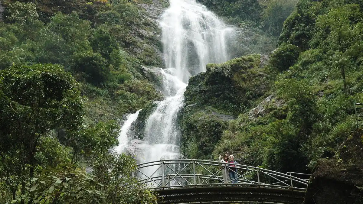
About 12 km from Sapa, the Silver Waterfall drops roughly 200 m down the cliff right beside the road. A short stepped loop (about 20,000 VND) takes you to a footbridge in front of the falls.
2. Love Waterfall and the Golden Stream
Near the Tram Ton ranger station, a forest path of a little over 1 km inside Hoang Lien National Park leads to Love Waterfall (Thác Tình Yêu), about 100 m high, fed by the Golden Stream (Suối Vàng). The entrance fee is about 70,000 VND for adults.
3. Heaven’s Gate summit (Tram Ton)
The highest point, at about 2,000 m, is the classic viewpoint for clouds, the zigzag road below and, on clear days, Fansipan. It is the best sunset spot near Sapa; details are in our Tram Ton Pass guide.
4. Rong May Glass Bridge
Just over the summit on the Lai Chau side, Rong May Glass Bridge combines a glass lift about 300 m high with a U-shaped glass walkway projecting from the cliff at about 2,200 m.
5. Hairpin bends and the descent to Lai Chau
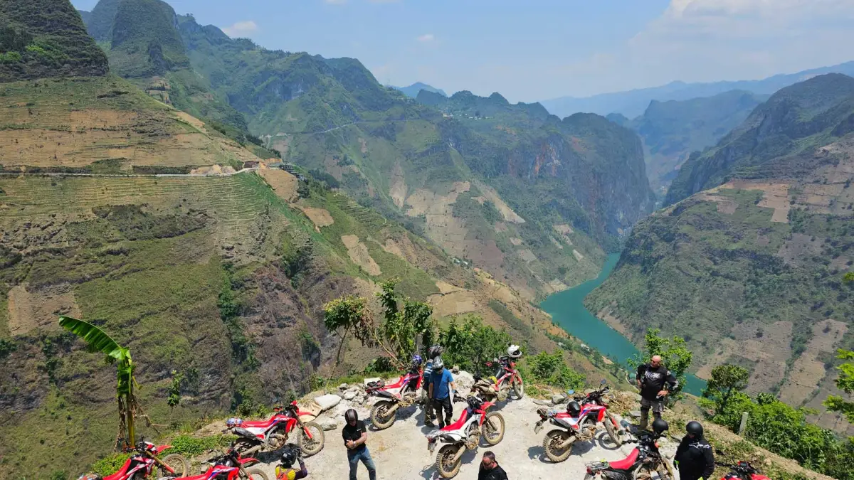
Beyond the summit the road snakes down in long loops through forest and farmland. Lay-bys on the upper bends are good for photos of the road curling below you.
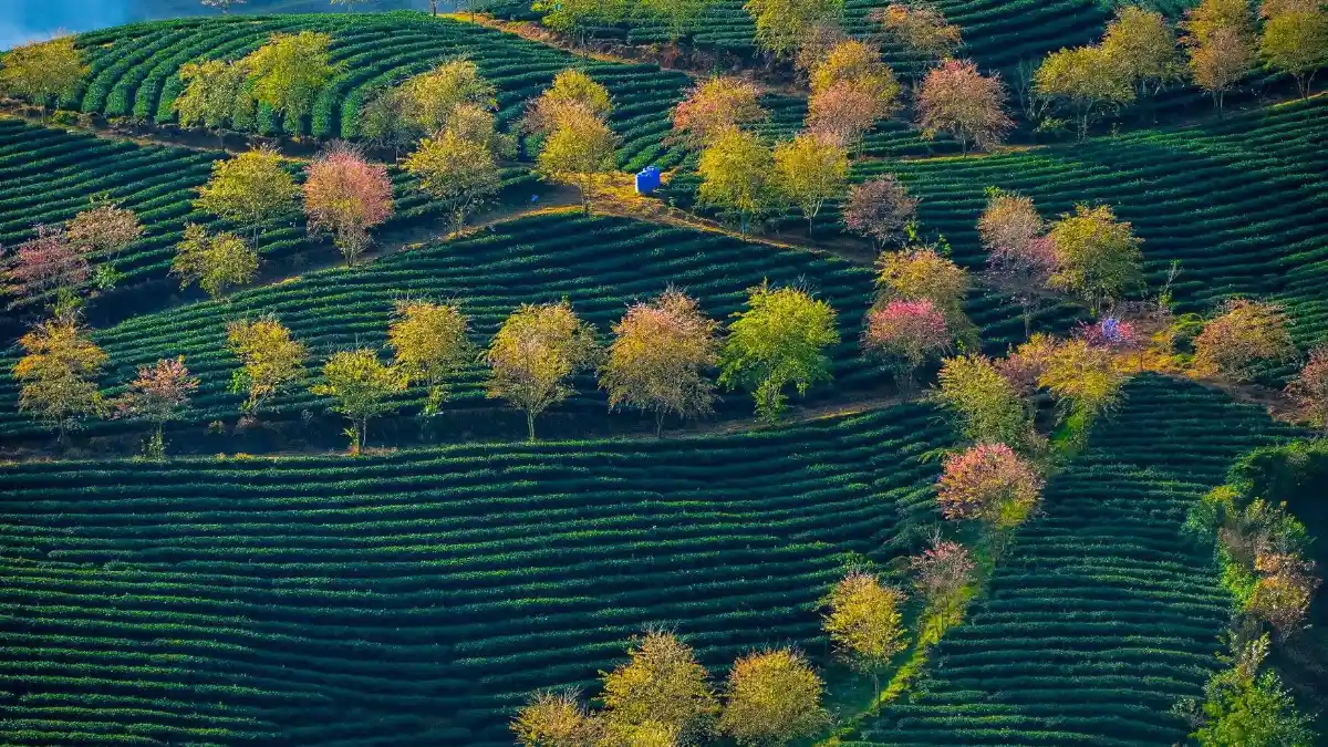
6. Tea hills and villages on the Lai Chau side
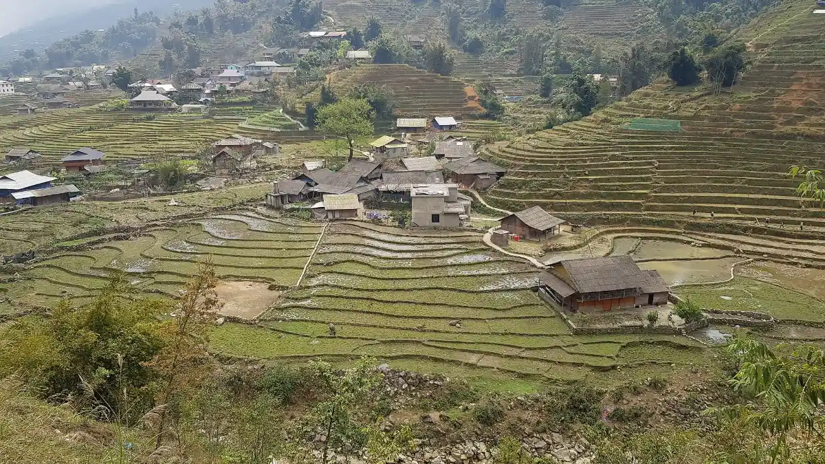
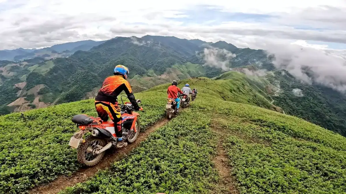
Lower down, the slopes open into tea hills and small ethnic villages, a sign that you are leaving the cold Sapa side for the milder Tam Duong valley.
7. Sea of clouds and sunset
Early mornings after rain and late afternoons in autumn often bring clouds filling the valleys below the summit. Sunset over the western ranges is the pass’s signature view.
O Quy Ho Pass Fees and Hours (2026)
| Stop | Fee (adult) | Hours |
|---|---|---|
| Driving the pass (NH4D) | Free | 24 hours; daylight driving recommended |
| Silver Waterfall | About 20,000 VND (about US$0.80) | Daytime |
| Love Waterfall (Hoang Lien National Park) | About 70,000 VND adults (about US$2.70); about 30,000 VND children | Daytime |
| Rong May Glass Bridge (lift + bridge) | 500,000 VND adults (about US$19); 300,000 VND children 1–1.4 m; under 1 m free | About 7:00–17:30 |
Fees at the waterfalls and the glass bridge are set by their managers and can change; ask your guide or hotel for the latest prices before you go.
How to Drive O Quy Ho Pass Safely
- Start early or time it for sunset. Mornings are usually calmer for driving; late afternoon gives the best light at the top.
- Check the weather and road news. After heavy rain, landslides can narrow the road; in cold spells, ice can form near the summit.
- Use a car with a local driver unless you are an experienced rider. The pass has steep grades, trucks and sudden fog.
- Use low gears on the descent and never stop on a blind bend; pull into proper lay-bys for photos.
- Carry warm layers and rain gear. The summit is often several degrees colder than Sapa town and much colder than Lai Chau.
- Bring cash for small entrance fees, parking and roadside snacks such as grilled corn and eggs.
How to Get to O Quy Ho Pass
| From | How | Time |
|---|---|---|
| Sapa town centre | Private car or taxi on NH4D towards Lai Chau | 30–40 minutes to the summit |
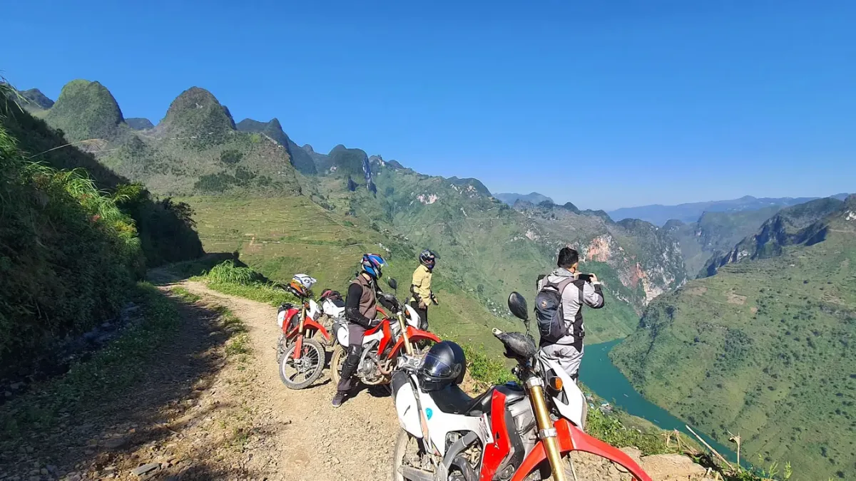
| Sapa town centre | Motorbike (experienced riders only) or easy-rider with a local driver | About 40 minutes to the summit |
| Lai Chau city | Car or bus on NH4D towards Sapa | About 1.5–2 hours to the summit |
| Hanoi | Expressway to Lao Cai and Sapa (see Hanoi to Sapa transport), then NH4D | About 6–7 hours in total |
Best Time to Visit O Quy Ho Pass
| When | What to expect |
|---|---|
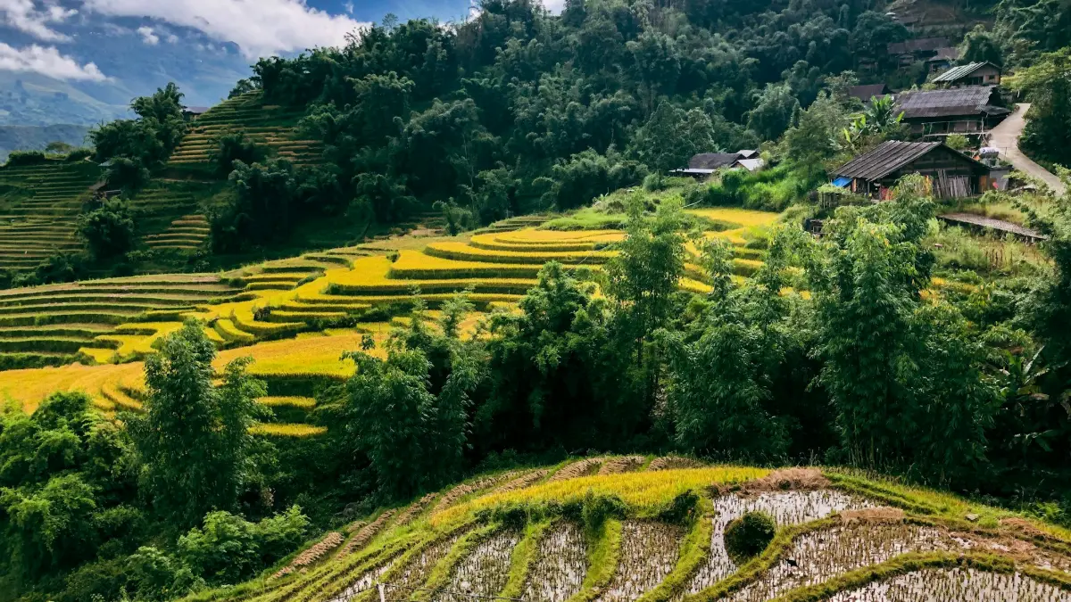
| September–November | Most reliable clear skies, crisp air, clouds in the valleys; golden rice in nearby Muong Hoa in September |
| March–May | Mild weather, spring flowers, generally good visibility |
| June–August | Green and lush but rainy; afternoon fog and occasional landslides |
| December–February | Cold, often foggy; frost, ice or rare snow near the top in cold spells |
| Time of day | Early morning for clouds after rain; 16:00–18:00 for sunset (earlier in winter) |
Local Expert Tips for O Quy Ho Pass
These tips come from years of arranging Sapa tours for international travellers.
- Pair the pass with a Fansipan day: the cable car in the morning, O Quy Ho for sunset.
- Do the loop in this order: Silver Waterfall, Love Waterfall, Rong May Glass Bridge, then back to the summit for sunset.
- If Sapa is covered in fog, drive over the top anyway: the Lai Chau side is often clear.
- Do not ride a motorbike at night or in fog; even local drivers slow to walking pace in thick cloud.
- Bring motion-sickness tablets if you are sensitive; the bends are continuous for long stretches.
- Combine with a Sapa trek the next day; the pass views help you understand the shape of the Muong Hoa valley.
- Try grilled corn, sweet potatoes and eggs from the summit stalls; read more in our Sapa food guide.
O Quy Ho Pass vs Ma Pi Leng Pass
| O Quy Ho Pass | Ma Pi Leng Pass | |
|---|---|---|
| Province | Lao Cai and Lai Chau | Tuyen Quang (former Ha Giang) |
| Length | About 50 km | About 20 km |
| Highlights | Clouds, Fansipan, waterfalls, glass bridge | Nho Que River canyon, karst peaks |
| Access | 15–18 km from Sapa | Far north, part of the Ha Giang Loop |
| Extra cost | Free; optional paid stops | Free; optional boat trip |
Our view: Ma Pi Leng is the more dramatic canyon, but it needs a multi-day Ha Giang trip. O Quy Ho is the easier choice on a Sapa itinerary: half a day from town, with waterfalls and the glass bridge on the same road.
Nearby Attractions
- Silver Waterfall (Thac Bac) – about 12 km from Sapa on the pass road.
- Tram Ton Pass and Heaven’s Gate – the summit, Love Waterfall and the Fansipan trailhead.
- Rong May Glass Bridge – glass lift and skywalk on the Lai Chau side.
- Fansipan Mountain – Vietnam’s highest peak, by cable car or trek.
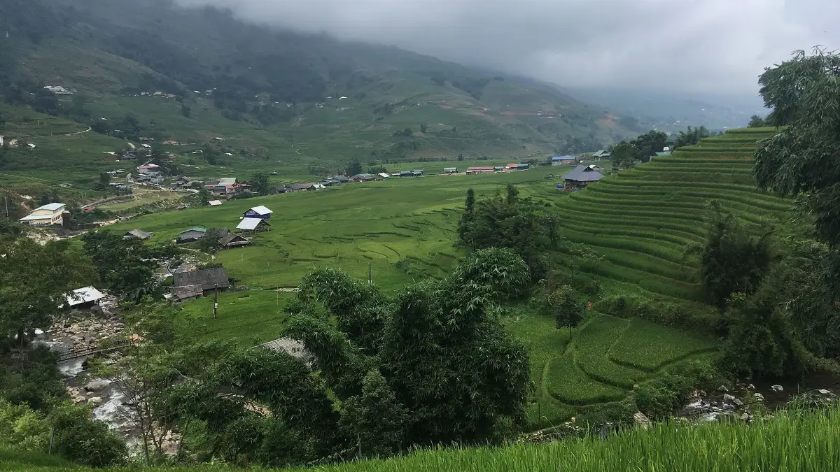
- Muong Hoa Valley – rice terraces and ancient carved stones.
- Cat Cat Village – H’Mong village and waterfall below Sapa town.
- Ham Rong Mountain – gardens and town views.
Sightseeing in Sapa for First-Time Visitors: Where O Quy Ho Pass Fits
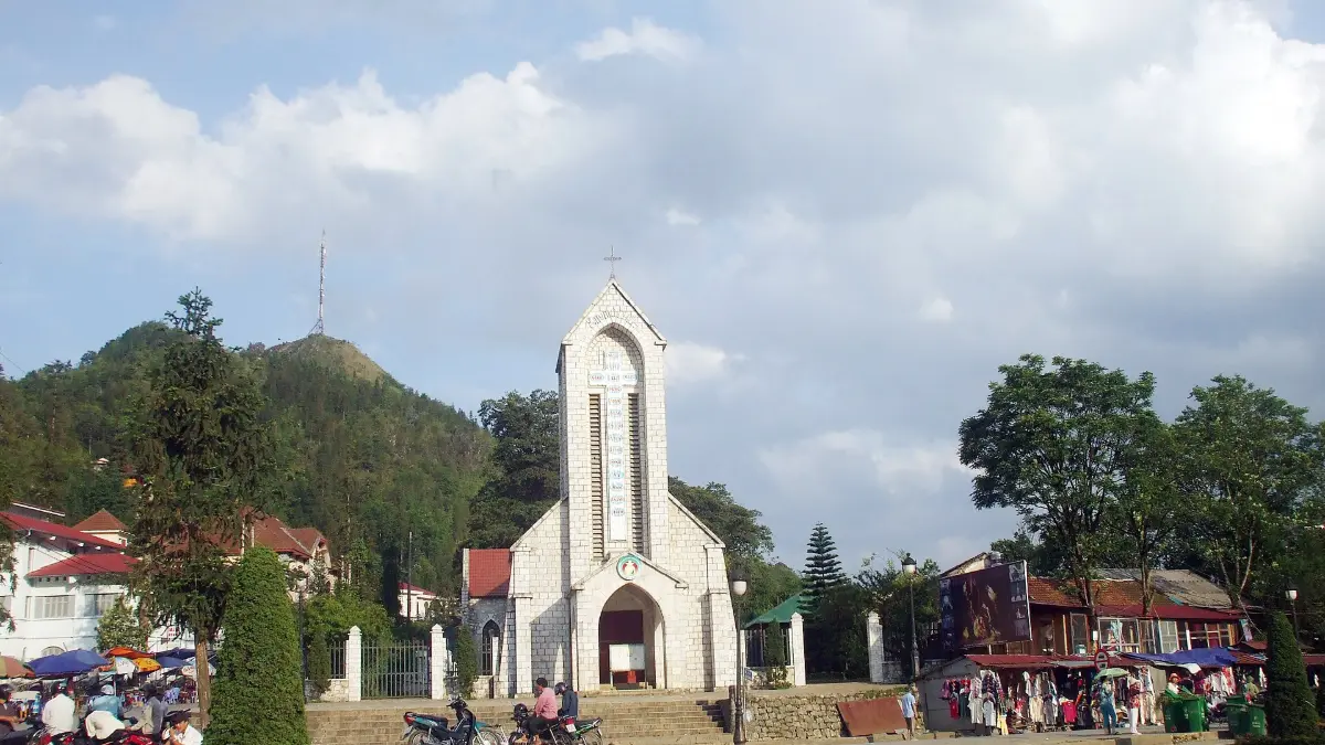
Two days in Sapa? Spend day one walking the Lao Chai and Ta Van villages trail, then on day two ride the Fansipan cable car in the morning and drive O Quy Ho Pass in the afternoon for sunset. On a third day add Ta Phin village or the Stone Church and the Saturday Love Market. Our Sapa travel tips cover weather, clothing and money.
Plan your trip with our Sapa travel guide and Sapa tours. Contact Vietnam Tour Expert Team for a free custom itinerary.
Frequently Asked Questions about O Quy Ho Pass
1. Where is O Quy Ho Pass?
O Quy Ho Pass is on National Highway 4D between Sapa (Lao Cai province) and Tam Duong (Lai Chau province), with its summit roughly 15–18 km from Sapa town.
2. How long is O Quy Ho Pass?
O Quy Ho Pass is about 50 km long, which makes it one of the longest mountain passes in Vietnam.
3. How high is O Quy Ho Pass?
The highest point of O Quy Ho Pass is about 2,000 m above sea level, near the Tram Ton forest ranger station.
4. Is O Quy Ho Pass the same as Tram Ton Pass?
Yes, Tram Ton Pass is the name many travellers use for the summit section of O Quy Ho Pass, beside the Tram Ton ranger station; see our Tram Ton Pass guide.
5. Is there an entrance fee for O Quy Ho Pass?
No, O Quy Ho Pass is a public road and free to drive; only stops such as Silver Waterfall, Love Waterfall and Rong May Glass Bridge charge entry.
6. Is O Quy Ho Pass dangerous?
O Quy Ho Pass is a modern paved road, but steep bends, trucks, fog and occasional landslides make it demanding, so drive slowly in daylight or hire a local driver.
7. Can I ride a motorbike over O Quy Ho Pass?
Experienced riders can ride O Quy Ho Pass, but you need a valid licence and good brakes, and you should avoid fog, rain and night riding.
8. What is the best time to visit O Quy Ho Pass?
September to November and March to May usually give the clearest views on O Quy Ho Pass, with late afternoon best for sunset.
9. Does it snow on O Quy Ho Pass?
Snow on O Quy Ho Pass is rare, but frost, ice and light snow can occur near the summit during strong cold spells between December and February.
10. How long does it take to drive O Quy Ho Pass?
Reaching the summit of O Quy Ho Pass takes 30–40 minutes from Sapa; driving the whole pass to Lai Chau with stops takes most of a day.
11. What can I see on O Quy Ho Pass?
O Quy Ho Pass passes Silver Waterfall, Love Waterfall, the Heaven’s Gate viewpoint, Rong May Glass Bridge, tea hills and wide views of the Hoang Lien Son range.
12. Why is it called O Quy Ho Pass?
According to a H’Mong legend, the name of O Quy Ho Pass comes from the cry of a bird, a fairy transformed after being separated from her woodcutter lover.
13. Can I see Fansipan from O Quy Ho Pass?
On clear days you can see the Hoang Lien Son range and Fansipan from O Quy Ho Pass, but the summit is often hidden in cloud.
14. Is O Quy Ho Pass one of Vietnam’s four great passes?
Yes, O Quy Ho Pass is commonly ranked with Ma Pi Leng, Pha Din and Khau Pha as the four great passes of northern Vietnam.
15. Which province is O Quy Ho Pass in?
O Quy Ho Pass crosses two provinces: about one third is in Lao Cai (Sa Pa ward) and about two thirds in Lai Chau.
16. Can I visit O Quy Ho Pass on a Sapa tour?
Yes, O Quy Ho Pass is easy to add to a private Sapa tour as a half-day trip; see our Sapa tours.
17. Is O Quy Ho Pass worth it in fog?
In heavy fog the views from O Quy Ho Pass can vanish, but crossing to the Lai Chau side often brings clearer skies, so it can still be worth trying.
Related Posts
Sapa Travel Tips 2026: Weather, Best Time & What to Know
Sapa Trekking Guide 2026: Best Routes, Guides & Tips

Sapa Food Guide: Salmon Hotpot, Thang Co & Where to Eat
Hanoi to Sapa 2026: Bus, Train, Private Car & Travel Times
Rong May Glass Bridge: Tickets, Views & Is It Worth It?